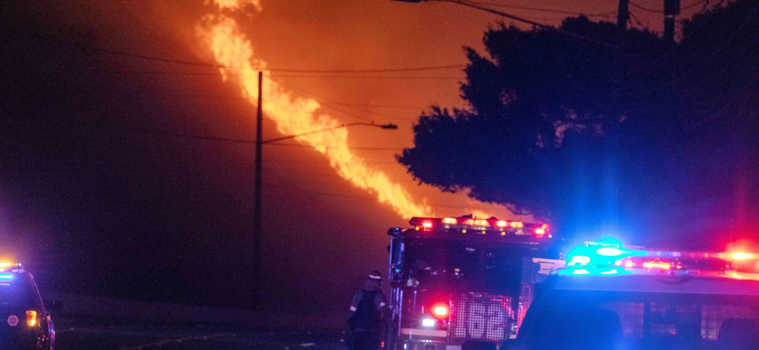
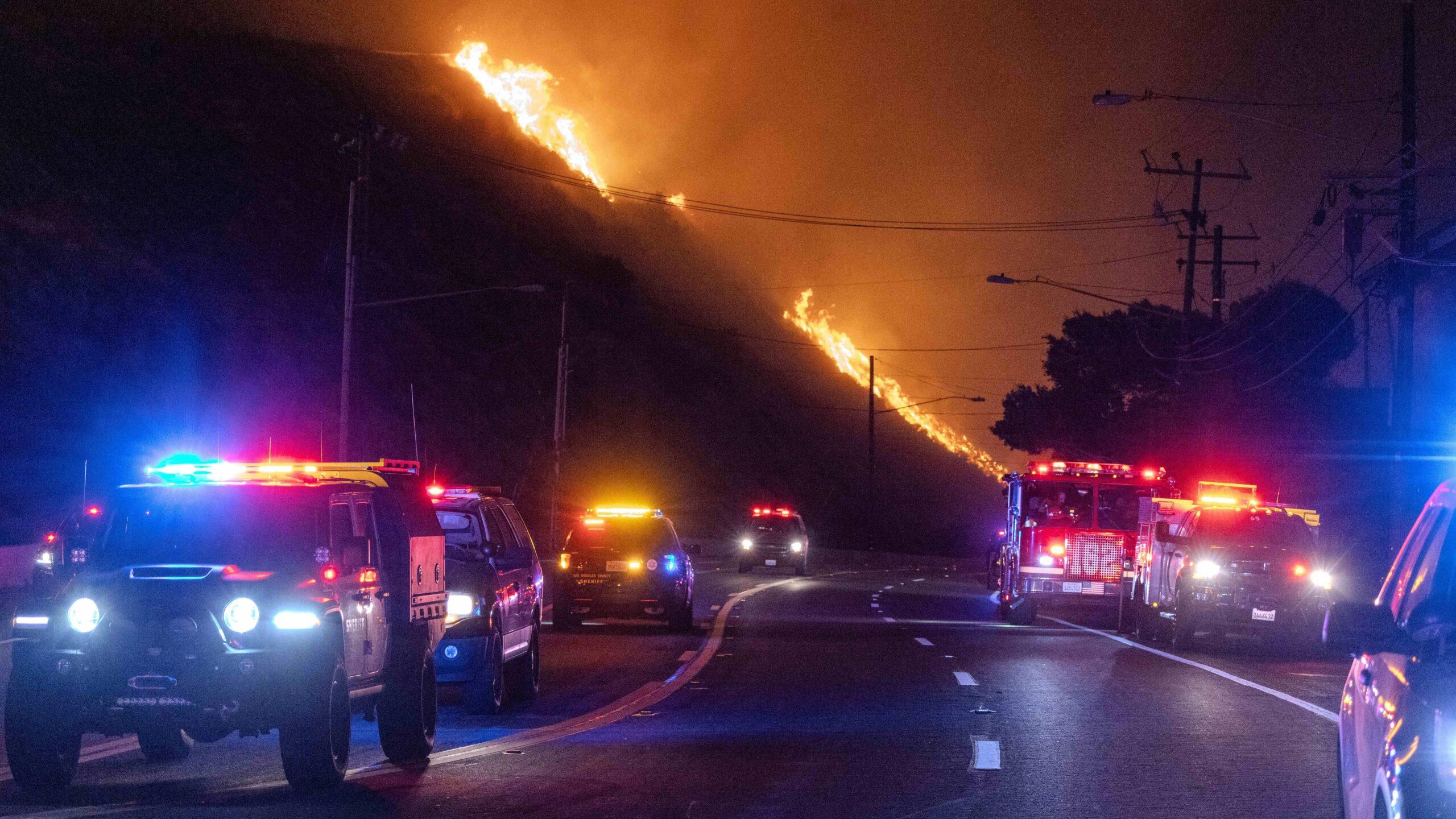
Evacuation Routes Begin To Close As Pacific Palisades Fire Spreads
By Kristin Myers on January 8, 2025 at 9:00 AM EST
Updated on January 8, 2025 at 1:12 PM EST

The Pacific Palisades wildfire continues to rage out of control. As of Tuesday night, over 30,000 California residents were under an evacuation order. Thousands more are expected to be affected by an evacuation order by Wednesday night, due to sustained winds expected through Thursday.
Over 200,000 people in Los Angeles are without power, per the tracking website poweroutage.us. The fire is currently 0% contained as per the latest update from the California Department of Forestry and Fire Protection, or Cal Fire.
The cause of the fire has not yet been determined, and an investigation is underway. As of Tuesday night, no fatalities have been reported, and one firefighter was reported injured.
Fires Continued To Spread Throughout The Night
View this post on Instagram
Local CW affiliate KTLA 5 News is providing regular updates via multiple social media channels. In one recent Instagram post, they highlighted an interactive 3D map of the fire available from the California Department of Forestry and Fire Protection.
On Tuesday night, the time-lapse of this 3D map shows the sustained north winds have pushed the fire south, down the foothills and cutting through the towns of Pacific Palisades and Castellamare to reach Sunset Beach, cutting off travel along the Pacific Coast Highway.
The Pacific Coast Highway has been closed from Malibu to Santa Monica, along with many other major roads in the area.
Fires Are 0% Contained As Of Tuesday Night

Cal Fire has issued an Evacuation Order for 19 control zones and an Evacuation Warning for an additional 20 control zones.
Residents under an Evacuation Order are required to evacuate, with outside access denied to the public. Residents under an Evacuation Warning are advised that there is a "Potential threat to life and/or property. Those who require additional time to evacuate, and those with pets and livestock should leave now," as per Cal Fire.
In addition to the Pacific Palisades Fire, the Eaton Fire continues to grow near Altadena northeast of Los Angeles, and a third fire is rapidly growing in San Fernando. The 400-acre Eaton Fire and 100-acre Hurst Fire were also 0% contained going into Tuesday night.
Evacuation Routes Are Closing As Fire Spreads
‼️ PCH CLOSURE UPDATE ‼️
PCH closed from Las Flores Canyon Road to Santa Monica Freeway (SR-10) due to #PalisadesFire. Motorists are advised to stay off the road to allow emergency personnel through. Check https://t.co/cxZ0jW7kfP for current road conditions pic.twitter.com/uVsPhBkFHQ
— Caltrans District 7 (@CaltransDist7) January 8, 2025
Many roads in the region are closed or closing soon due to the fires, complicating evacuation for those who waited to evacuate.
For those actively evacuating, or planning to evacuate soon, the California Highway Patrol is providing live updates of closings via X, the site formerly known as Twitter.
Those who had not evacuated were urged to leave the area immediately and proceed to a safe location away from the fires or one of the evacuation zones established by Cal Fire.
Two zones have been established for the Pacific Palisades evacuation zones. One is to the north in Woodland Hills, and one is to the east in the Westwood suburb.
Dramatic Scenes Of The Fire Emerge Across Social Media
View this post on Instagram
Over the course of the day, social media has been filling up with dramatic images of the fire from the air and sea. Travelers flying to and from nearby LAX continue to provide striking aerial images showing the scale of the destruction from above, showing what the maps can't convey.
Similarly, images from residents on and across the water capture the fires towering over the towns below. Even Oscar-winning actor James Woods provided startling photos and videos of the blaze as it slowly consumed his home.
Officials Urge Residents To Evacuate And Stay Safe
Free Big Blue Bus transport to the Palisades Fire evacuation center at Westwood Recreation Center, 1350 S. Sepulveda Blvd., 90025, will be available starting at 8 p.m. Buses will leave hourly.
Pick-up locations: ⁰📍Ocean Avenue and San Vicente Blvd.⁰📍7th St. and San Vicente… pic.twitter.com/GuAQJTa7fG
— Santa Monica Police (@SantaMonicaPD) January 8, 2025
Officials have urged affected residents to evacuate the area by all means possible. Santa Monica is providing free transport to the Westwood evacuation center aboard its iconic Big Blue Buses. Time is of the essence, with Cal Fire battalion chief Jesse Torres noting, "The biggest thing is to get out early, before the notifications come out. It’s so important to avoid the congestion," in an interview with the Associated Press.
He explained the complications of narrow roads and limited routes, emphasizing, “Everyone’s doing the same thing — they’re all trying to get out.”
Due to the road closures and limited routes through the foothills surrounding the Pacific Palisades, evacuees may likely become trapped. In such cases, Torres advised that they don't panic, and to take a few measures to ensure their survival.
“Realize where you are, what street you are at. Can you see an address sign? Call 911, so we can get resources out to you to try to find you,” he advised. This information will help rescuers pinpoint their location and whether or not they are in immediate danger from the fire.